Weather warnings for Wick, Caithness and North
3rd January 2026
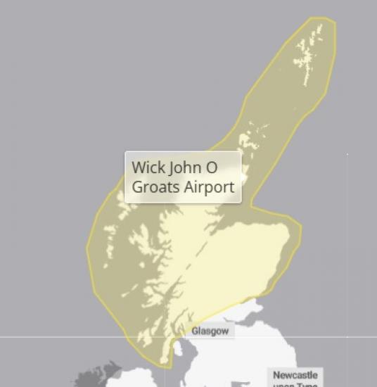
Snow showers are expected to continue through the weekend, being brought well inland by strong northerly winds. Winds should ease somewhat into Sunday, with showers by then most prevalent around coasts.
Snow showers should finally begin to ease during Monday morning. With temperatures inland likely remaining below freezing through the weekend, thaw of lying snow is not expected.
With respect to additional accumulations: through the weekend and into Monday morning, a further 2 to 5, locally 10-15 cm of lying snow is possible in low lying areas. 15-30 cm could potentially accumulate above 200 m, most likely for the northwest Highlands and Grampians.
Given wind strengths Saturday some drifting of snow and temporary blizzard conditions are likely. Lightning will be an additional hazard near showers.
See more at https://www.metoffice.gov.uk/